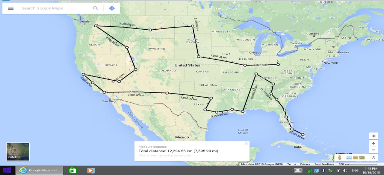
This week we have been using our ICT skills on Google maps to plan our own American Road trip. We used the help tool to find out how to measure distance. We then used the distance tool to plot and measure the distance from city to city on our trip and then calculate the distance of the entire trip. Once we had done this, we used the print screen function to copy the map and route into a power point presentation. We used the crop tool and made the map a decent size. We then added details about all the place we planned to stop on the route and searched the internet for activities and attractions for each place.
In maths we have been tackling the hard topic of perimeter of compound shapes and the usual counting and times tables whilst in literacy we were focusing on performing metaphor poems with expression, intonation and enthusiasm.
